 Κατάλογος γεωχωρικών δεδομένων
denominator
1000
Type of resources
Available actions
Topics
INSPIRE themes
Keywords
Provided by
Representation types
Scale
From
1
-
1
/
1
-
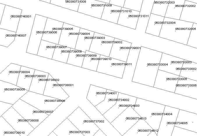
Cadastral land parcel boundaries maintained in the "Hellenic Cadastre" data base. The dataset refers to the land parcels that have been integrated into the "Operating Cadastre" system. They are updated periodically. The most recent updating date for each cadastral parcel is stored in its corresponding record of the beginLifespanVersion field. The minimum required scale for viewing the cadastral diagrams via WMS service is 1: 9000 or higher. On smaller scales the cadastral diagrams are not displayed for performance reasons.